
JMap Jakartowns
Available for JMap Cloud and JMap Server starting from version Kathmandu HF9
Licence required
Compatible with:
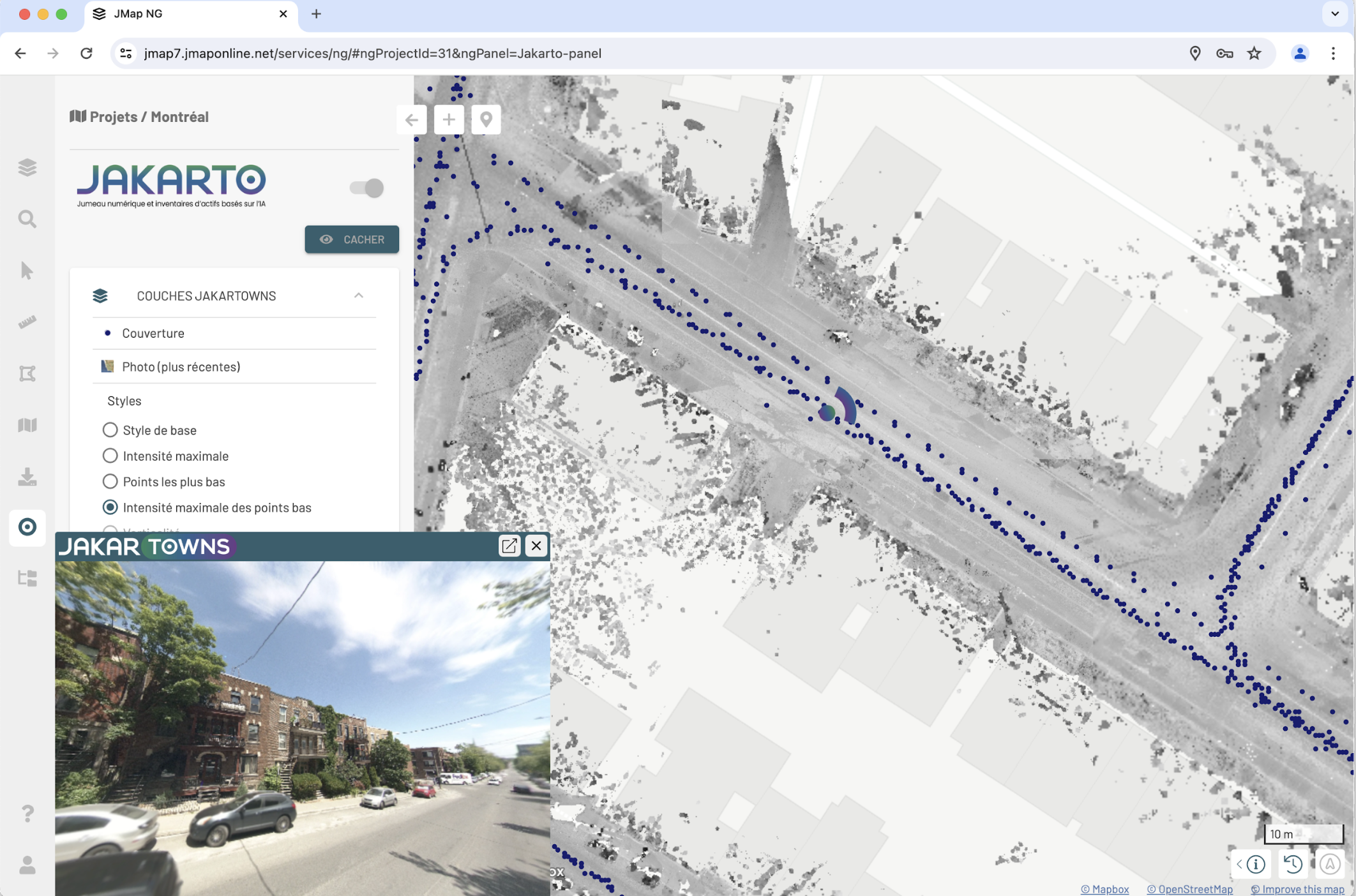
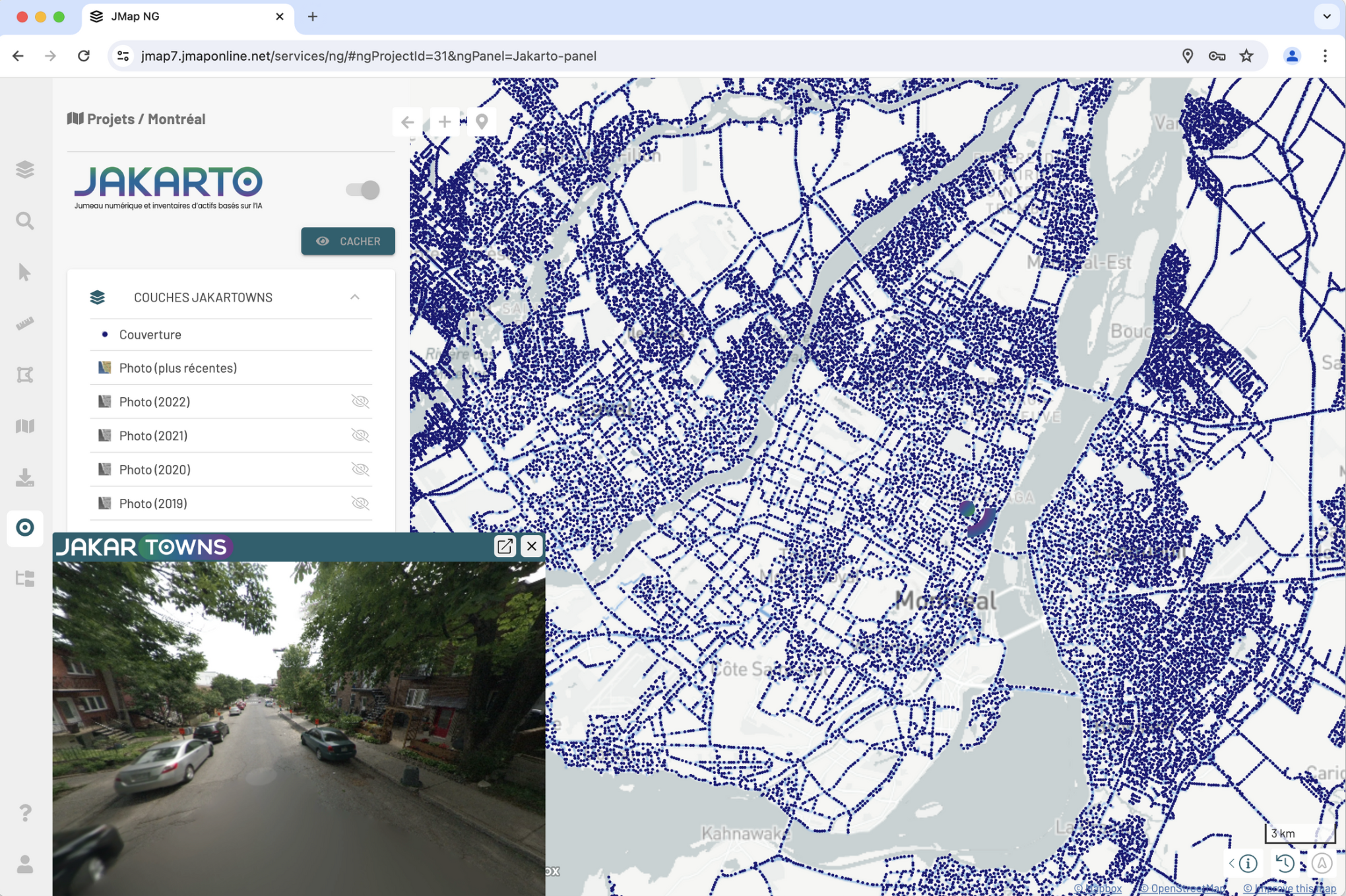
The Jakartowns extension allows for the integration and visualization of data from the Lidar and imagery data collection and valorization platform Jakarto into a JMap NG application. You can view Jakartowns data layers directly on the map and open the Jakartowns viewer with a simple click on the map.
No items found.